Full GIS Services
GIS Pipeline Mapping
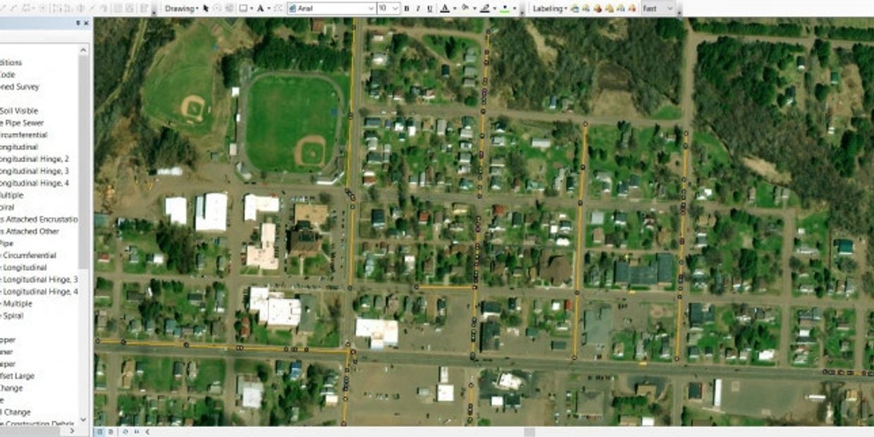
With highly trained GIS (geographic information system) experts on staff, Tunnel Vision sets the standard for using GIS technology to achieve the highest level of onsite performance and customer communication for pipe mapping and inspections.
With GIS pipe mapping services that do much more than simply use standard software to create a static GIS file, we have the ability to make any change necessary to any GIS file, achieving full GIS integration in several ways:
- We can integrate standard PACP inspections to a multitude of programs such as ESRI, Lucity, Cityworks, Civilstorm, or many others.
- Our teams can integrate (or correct/clean) previously-collected data from other vendors no matter the format.
- Undiscovered assets or field discrepancies found during inspection can now be included as part of our deliverable package.
- All of our work crews are GPS-located. You can easily access a map online with live updates of cleaning and repairs.
- For your inspection, we provide fully-customized reports that provide granular data far beyond standard data outputs from canned inspection software.
- Our GIS pipe inspection data is secure, accessible and cloud-based, eliminating the need for external hard drives or other local storage.
- Tunnel Vision crews can access all media (video, reports, maps, etc.) from any mobile device, enabling them to make better and faster decisions, a crucial advantage when the unexpected occurs — and it always does.
Our ability to use this sophisticated GIS integration to observe the physical worksite as granularly as possible and also the work as it progresses is critical for achieving successful results in CIPP and other trenchless repair work:
- Engineers can make assessments more quickly and accurately and in less time. This has the effect of speeding up the work and reducing error.
- GIS pipe locating allows us to visibly identify the exact position of root intrusions, infiltration and other irregularities, increasing work efficiency and taking guesswork out of project planning.
- Our detailed GIS reporting enables you to correct bad data or fill in gaps in your existing records, making future repair assessments much easier and less time-consuming.
Contact us now to learn more about our GIS services for pipes.